広瀬川 Hirose-gawa The Hirose River
|
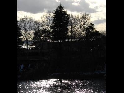
The Hirose River is the largest tributary of the Natori River designated as a “Class A River System” by the Ministry of Land, Infrastructure, Transport and Tourism. The main stream length of the Hirose River is 46 km and its watershed area is about 311 sq. km. The river flows out of the area near Sekiyama Pass in the Ou Mountain Range.
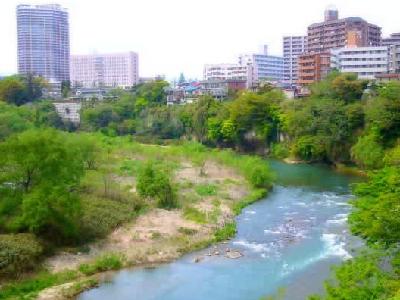
The city of Sendai has developed on the terraced land formed along the Hirose River; hereby the river is called “Mother of Sendai.” The river terrace forming the central part of Sendai City and the natural cliffs typically seen along the Hirose River have been formed in accordance with the changes in the river channel.
The Hirose River provides habitats for a lot of precious flora and fauna including sweetfish and Kajika frogs, which live only in clear water, and over 100 species of wild birds such as common kingfishers and crested kingfishers. Although the Hirose River runs through an urban area, bountiful nature and green woods remain in its watershed area.

- address
- Sendai, Miyagi Prefecture 980-0000
- name
- The Hirose River
- phone
- 022-214-8327
- hp
- http://www.hirosegawa-net.com/